

 |
|
|
Don't forget to publish your favourite biking roads. |
You can create custom roadbooks based on these roads by using software Motorbike-Roadbooks. For a first use, you can have a look at the tutorial.
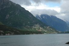
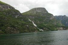
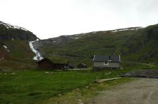
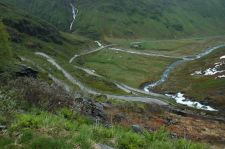
Using this road, you will cruise through the most enchanting european landscapes. Fjords, mountains, with some boat crossings and very very tight hairpins.
Just notice that you could face some traffic, as it is one of the main roads of the country.
 |  |
| Odda Fjord | Cascade à Odda |
 |  |
| Lacets de Gudvangen | Lacets de Gudvangen |
176.8 km (about 3 h 12 min)
| Stage | Distance | Zoom crossing |
Research radius : 100 km
| Length | Distance / Active road | Mark |
| Geiranger Fjord | 156.8 km | 62 km | 4.1/5 |
| The heart of southern Norway | 238.6 km | 67 km | 3.5/5 |
| Norwegian heights | 89.5 km | 7 km | 3.2/5 |
Research radius : 100 km
| Type | Distance / Active road | Mark | Zoom |
| Flothyl Camping | Camping | 66 km | 3.8/5 |
|
There is no opinion about this road yet.
