banniere TrackandRoad
| Connect

Aidez le site : faites un don Paypal

Joshua tree national park

Take part

Don't forget to publish your favourite biking roads.

Use Motorbike-roadbooks

You can create custom roadbooks based on these roads by using software Motorbike-Roadbooks. For a first use, you can have a look at the tutorial.

Map

Zoom back to initial map

Description

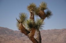
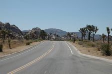
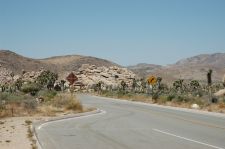
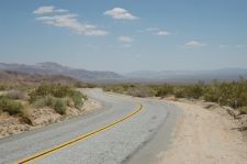
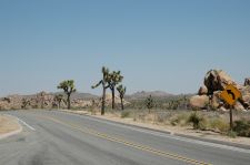
Pure western USA : breathtaking desert landscapes, unique trees, and, las but not least, curves !! Yahoooooo
Pictures


Marks

The roadbook

99.8 km (about 2 h 06 min)

Stage Instructions Distance Zoom crossing
Joshua Tree 0 km
1 Head south on Park Blvd toward Sunburst Circle PK : 0 km
(-> 0.8 km)
2 Continue on Quail Springs Rd PK : 0.8 km
(-> 17.9 km)
3 Continue on Park Blvd PK : 18.7 km
(-> 13.9 km)
4 Turn right at Geology Tour Rd
Destination will be on the right
PK : 32.7 km
(-> 0.1 km)
5 Head north on Geology Tour Rd toward Park Blvd PK : 32.9 km
(-> 0.1 km)
6 Turn right at Park Blvd PK : 33 km
(-> 8 km)
7 Turn right at Pinto Basin Rd PK : 41.1 km
(-> 47.9 km)
8 Slight left at Cottonwood Spring Rd
Destination will be on the left
PK : 89 km
(-> 10.7 km)
I 10 99.8 km

Nearby roads

  • See roads closer than : kms

There is no road closer than 100 kms. Increase research radius (max 250 km).

Nearby Accomodations

  • See accomodations closer than : km

There is no accomodation closer than 100 kms. Increase research radius (max 250 km).

Your opinion

There is no opinion about this road yet.