

 |
|
|
Don't forget to publish your favourite biking roads. |
You can create custom roadbooks based on these roads by using software Motorbike-Roadbooks. For a first use, you can have a look at the tutorial.
This road is almost a dream for most motorcycle travellers in Europe, and maybe around the world : it leads to the North Cape, where the continent ends !
It's not only mythic, it's also a very nice road (when there is no fog !). Road surface is good, landsapes...surprising. There could just be a bit more funny curves...perfection doesn't exist !
 |  |
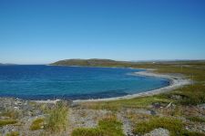
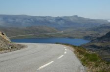
| Porsangen Fjord | La route du Cap Nord |
 |  |
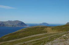
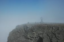
| Rochers isolés en Mer de Barents | Le mythique cap nord |
128 km (about 1 h 56 min)
| Stage | Distance | Zoom crossing |
| Russenes | 0 km |
|
|
| 1 | Head north on E69 Partial toll road |
PK : 0 km (-> 96.9 km) |
|
| 2 | Turn left to stay on E69 | PK : 96.9 km (-> 18.8 km) |
|
| 3 | Turn left to stay on E69 | PK : 115.8 km (-> 12.2 km) |
|
| Cap Nord | 128 km |
|
Research radius : 100 km
| Length | Distance / Active road | Mark |
| Lakselv - Est | 210.8 km | 48 km | 3.9/5 |
Research radius : 100 km
| Type | Distance / Active road | Mark | Zoom |
| Auberge de jeunesse - Karalaks | Others | 52 km | 4.1/5 |
|
There is 1 opinion about this road.
Author marks : Thomas |
|
General mark : 3.3/5 |
Surfacing : 3/5 |
Curves : 2/5 |
Lanscapes : 4/5 |
Speed controls : 4/5 |
Traffic : 3.5/5
|
Name : Berni69 |
Date : november 12th 2009
|
General mark : 4/5 |
Surfacing : 4/5 |
Curves : 2/5 |
Landscapes : 5/5 |
Speed controls : 5/5 |
Traffic : 4/5
|
Evidemment c'est LA route ! Le retour, avec le vent et la pluie dans le dos, c'est plus facile ! c'est sûr. Mais il faut d'abord l'avoir faite vers le Nord. C'est impératif !! Promis, vous en aurez des souvenirs particuliers. |
|
