

 |
|
|
Don't forget to publish your favourite biking roads. |
You can create custom roadbooks based on these roads by using software Motorbike-Roadbooks. For a first use, you can have a look at the tutorial.
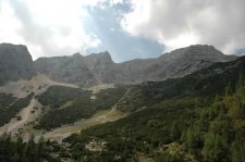
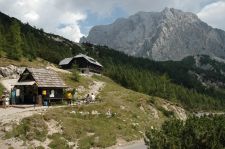
Lost in the middle of nowhere, I definitely liked this road. It's wild, crossing places without anybody, all the time in amazing landscapes in the same time dry and mountain - like.
Indded, the surfacing is not perfect, but curves are here, so....
 |  |
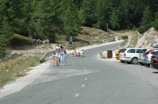
| Col du Vrsic | Moutons au sommet |
 | |
| Vue aux alentours du sommet | |
41 km (about 41 min)
| Stage | Distance | Zoom crossing |
Research radius : 100 km
| Length | Distance / Active road | Mark |
| Grossglockner - Hochalpenstrasse | 69.7 km | 79 km | 4.5/5 |
| Monte Zoncolan | 21.3 km | 48 km | 3.5/5 |
There is no accomodation closer than 100 kms. Increase research radius (max 250 km).
There is no opinion about this road yet.
