Entre deux lacs (Italie)
- Published by Pan on monday, january 26th 2009
- Length : 67.7 km
- Estimated time : 1 h 15 min
- Country : Italy
- GPS files: (Help)

- General mark : 3.9/5

Take part
Use Motorbike-roadbooks
You can create custom roadbooks based on these roads by using software Motorbike-Roadbooks. For a first use, you can have a look at the tutorial.
Map
Zoom back to initial map
Pictures
 | 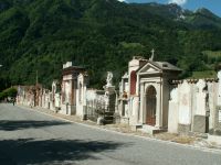 |
| Lac Idro | Cimetière de bogalino |
|
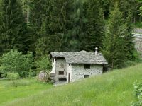 | 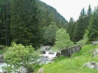 |
| Montée au col | Montée au col |
|
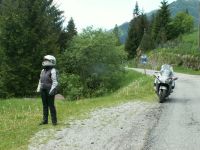 | 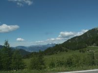 |
| Col de Croce Diminii | Pano au Col de Croce Diminii |
|
Marks
- Surfacing : 2/5

- Curves : 3.5/5

- Landscapes : 4.5/5

- Speed controls : 5/5
 (high mark = few controls)
- Traffic : 4.5/5
 (high mark = few traffic)
The roadbook
67.7 km (about 1 h 10 min)
| Stage |
Instructions |
Distance |
Zoom crossing |
Nearby roads
Research radius : 100 km
| Road |
Length |
Distance / Active road |
Mark |
Nearby Accomodations
Research radius : 100 km
| Name |
Type |
Distance / Active road |
Mark |
Zoom |
Your opinion
There is no opinion about this road yet.


 |
|


